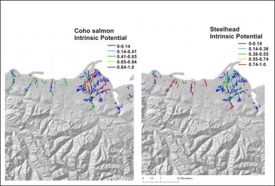
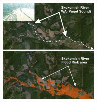
 The Environmental Protection Agency (EPA, Region 10) commissioned NetMap coverage for watersheds draining into the Puget Sound (Washington), in areas not covered by the US Forest Service, Region 6 NetMap coverage. NetMap in the Puget Sound is being used by stakeholders participating in the Puget Sound Partnership
See some NetMap analysis results using an online browser.
Use the TerrainViewer to examine Puget Sound scale patterns in fish habitats, erosion potential, floodplains, wildfire and climate change.

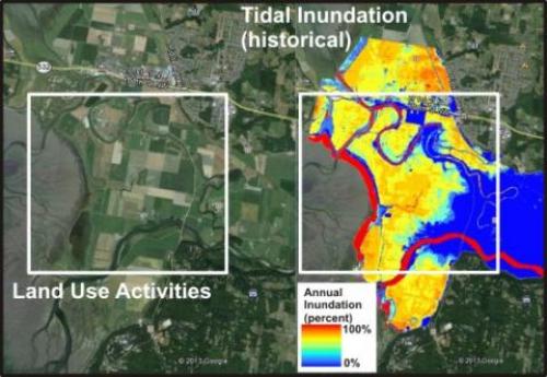
In addition to mapping fish habitats, erosion potential and floodplains, NetMap in the Puget Sound was used to characterize estuarine habitats, including those obscured by historical and present day land use.
See additional NetMap estuary mapping.

