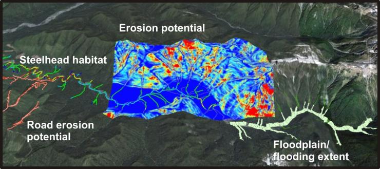
Washington Coast Sustainable Salmon Partnership (WCSSP) has been using NetMap Digital Landscapes and Analysis Tools to create customized salmon intrinsic potential models and to map salmon habitats across the western Olympic Peninsula.
Fish habitats can be mapped and compared to locations of other important habitat types (floodplains) and environmental stressors such as erosion potential and road surface erosion.

