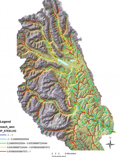
 Joint Fire Science funding was used to develop a methodology to integrating NetMap's Digital Landscape and Tools into Pre Wildfire Planning. See Full Report.

In particular NetMap was used to demonstrate, within the Wenatchee watershed, how predicted wildfire intensity impacted erosion and delivery of fine sediment to streams, and how these in turn (with altered in-stream wood load and thermal load) impacted fisheries.


