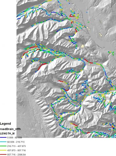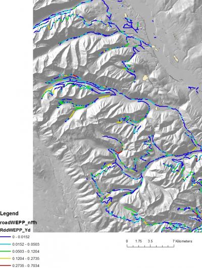
The US Fish and Wildlife Service has commissioned NetMap coverage in the Canadian portion of the Flathead River in western Montana as part of the Internatinal Memorandum of Understanding involving the Canadian-US transboundary management of this ecologically signfiicant watershed (in the Crown of the Continent). The US portion of the Flathead River has NetMap coverage (see USFS Region 1 Project).

The principle focus is the use of NetMap's extensive road and hillslope erosion tools to provide decision support in transportation management, forest management and watershed protection
.

TerrainWorks (NetMap) tools for roads and energy pipelines include:
- Road (or pipeline) density (either subbasin scale or individual hillside-stream segment scale)
- Road drainage diversion (e.g., hydrologic connectivity)
- Road surface erosion and sediment delivery to streams
- Road stability (landslide)
- Road related debris flow risk (initiation or impacted by)
- Cumulative fish habitat length (and quality) above all road – stream crossings
- Roads in floodplains
- Road – aquatic classification

